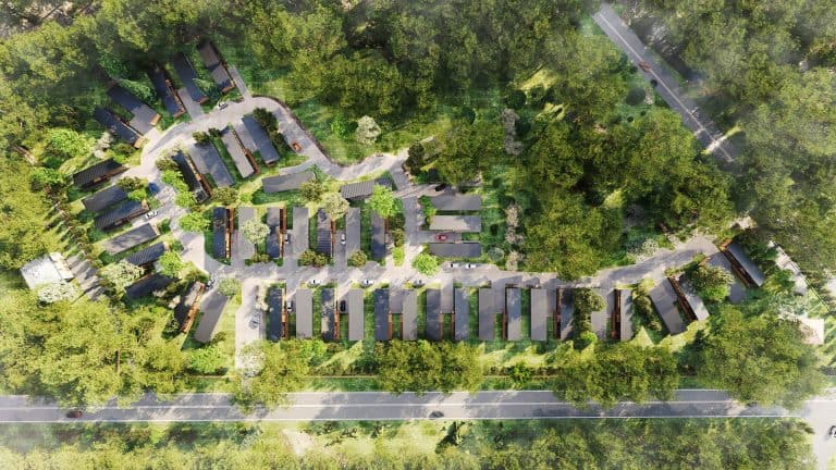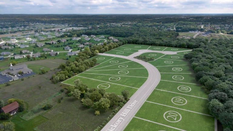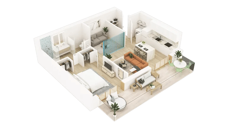


Site Plan Rendering and Aerial Animation for a 12-Lot Subdivision in Danville, PA
Site plan rendering helps developers market land that buyers cannot fully understand from plans or drone footage alone. A US developer selling 12 lots in Danville, Pennsylvania, provided our 3D rendering company with a subdivision plan and video of the undeveloped site. The goal was to show both the proposed lot layout and how the completed neighborhood could look. Our solution was an aerial animation built directly on the client’s drone video.
#1. The Challenge
| Client | US real estate developer |
| Location | Danville, Pennsylvania |
| Project | 12-lot residential subdivision |
| Inputs | Subdivision plan, marked-up drone footage, house and landscaping references |
| Deliverables | 60-second animation, 5 stills, 2D master plan |
| Use | Client website |
Selling land is harder than selling a house. A house photographs well; a lot is grass. On the drone video, the property looked exactly like what it was — a beautiful, empty field with no visible structure and no story.
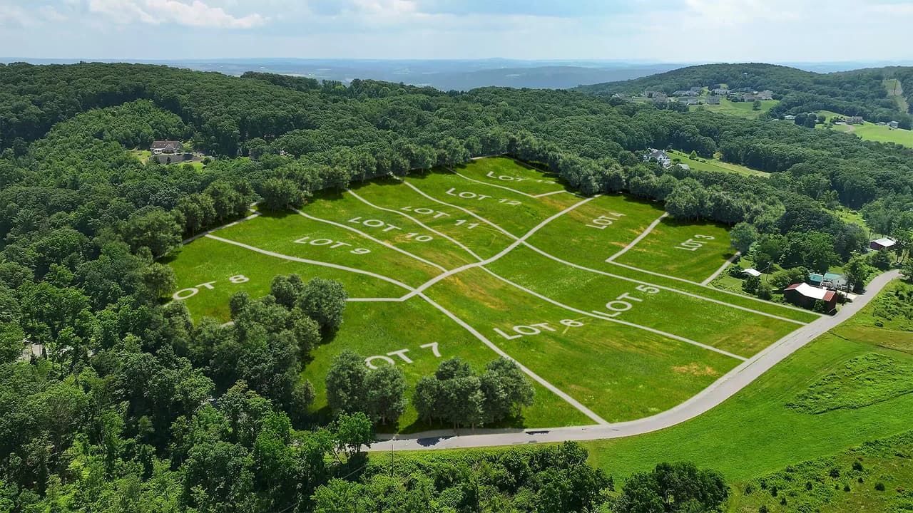
The client needed one asset to do two jobs. First, show the proposed subdivision layout, lot numbering, and the position of each parcel. Second, show the potential of the place: what kind of homes could stand here. These jobs serve two different audiences — buyers who want land only and need clear boundaries to pick their parcel, and buyers planning to build who need to see a future neighborhood, not a survey. It’s a classic dilemma of selling lots off-plan — one that 3D rendering for real estate developers is built to solve.
#2. The Solution
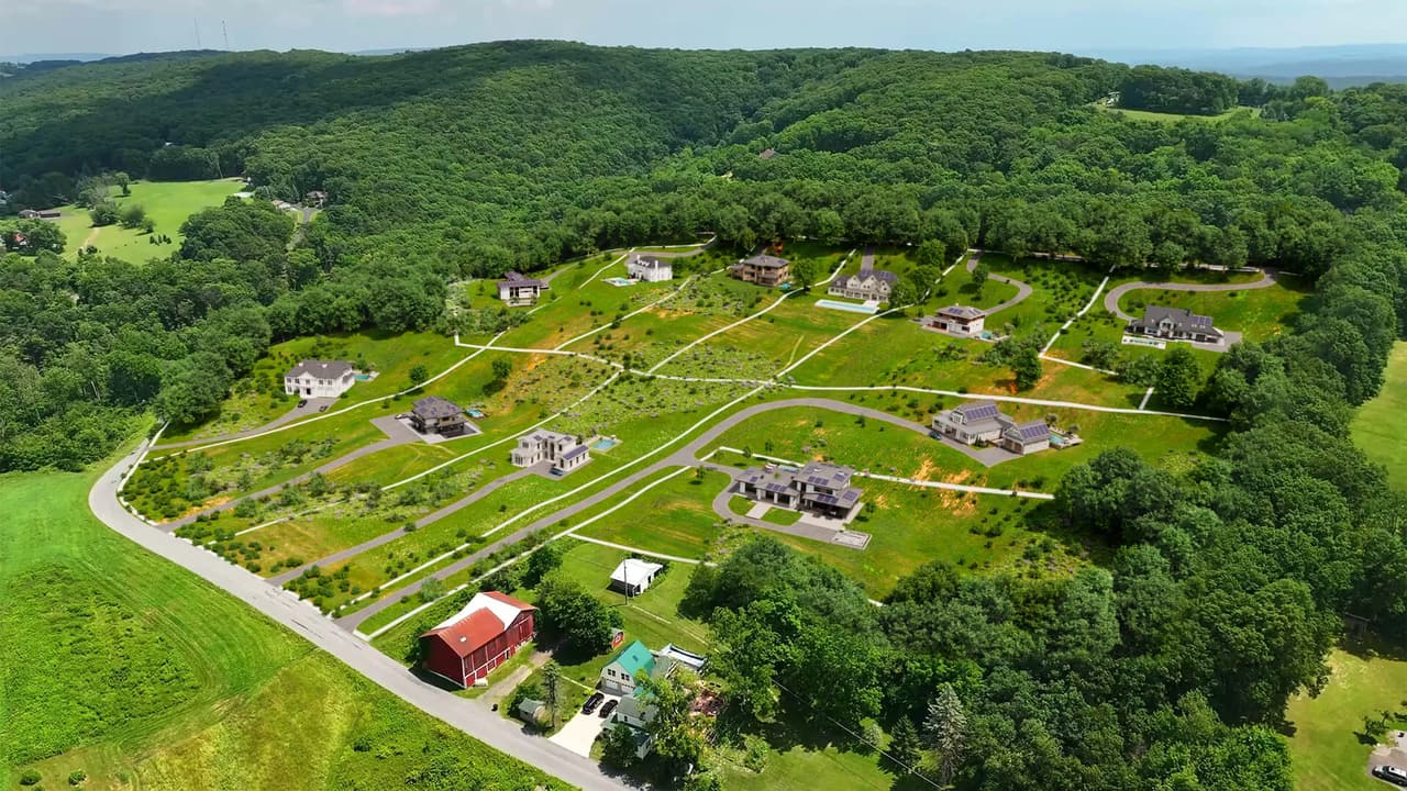
The core mechanic of this subdivision rendering is CGI layered over the client’s real drone footage — the approach we use in photo montage and drone integration projects. The animation starts with the actual Danville landscape and transforms it in front of the viewer: empty land, then numbered lots, then a fully built community.
We modeled two versions of the site in one animation. The first is a 3D site plan rendering of the bare subdivision — 12 lots with clean boundaries and numbers, so land buyers can instantly locate the parcel they want. The second shows the same lots with homes placed from ArchiCGI’s 3D model base: high-end houses with driveways, styled after the neighboring homes visible in the client’s drone video. That reference kept the CGI neighborhood looking native to the area rather than dropped in from a catalog.
The client’s input package included the subdivision plan, drone photos and video of the site with lot markup, and references for the houses and landscaping we used to select models from our base.
Alongside the animation, we prepared a 2D master plan rendering — a navigation tool for the sales process. A buyer watches the video, falls for the place, then opens the master plan to find the exact lot number, size, and position within the community.
#3. The Result
The client received a complete sales toolkit of land subdivision 3D visualization for their website:
- a 1-minute aerial animation in Full HD 1920×1080, 30 FPS — a tracking flyover that includes a transformation sequence, where empty land turns into numbered lots and then into a built community;
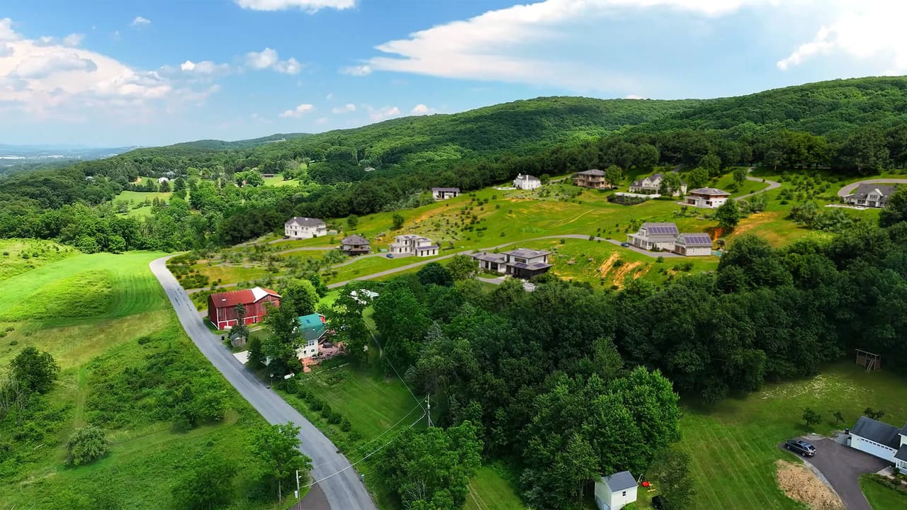
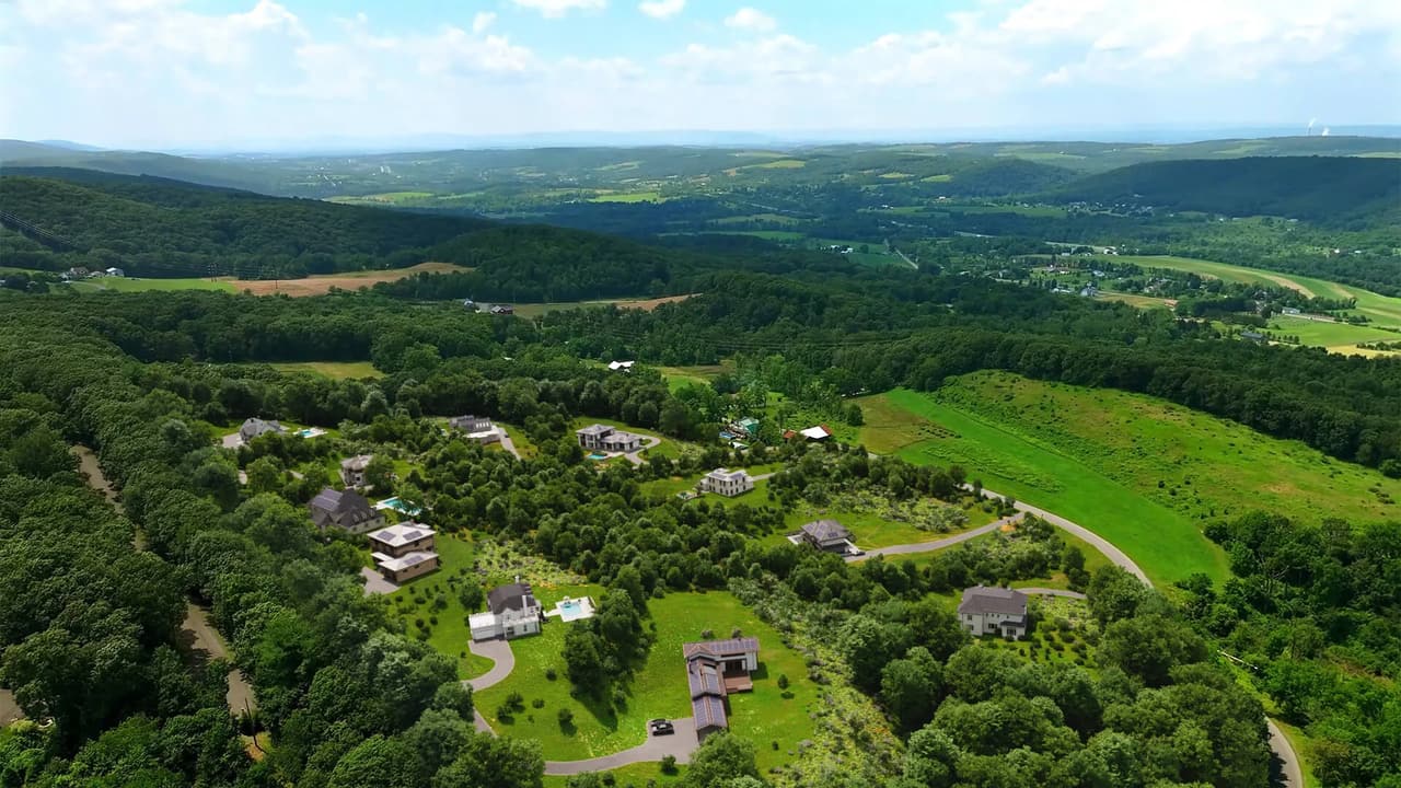
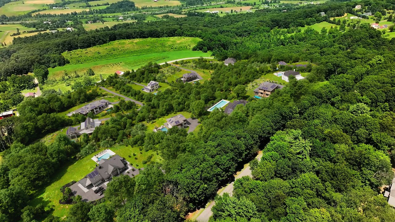


- 5 still frames from the animation;
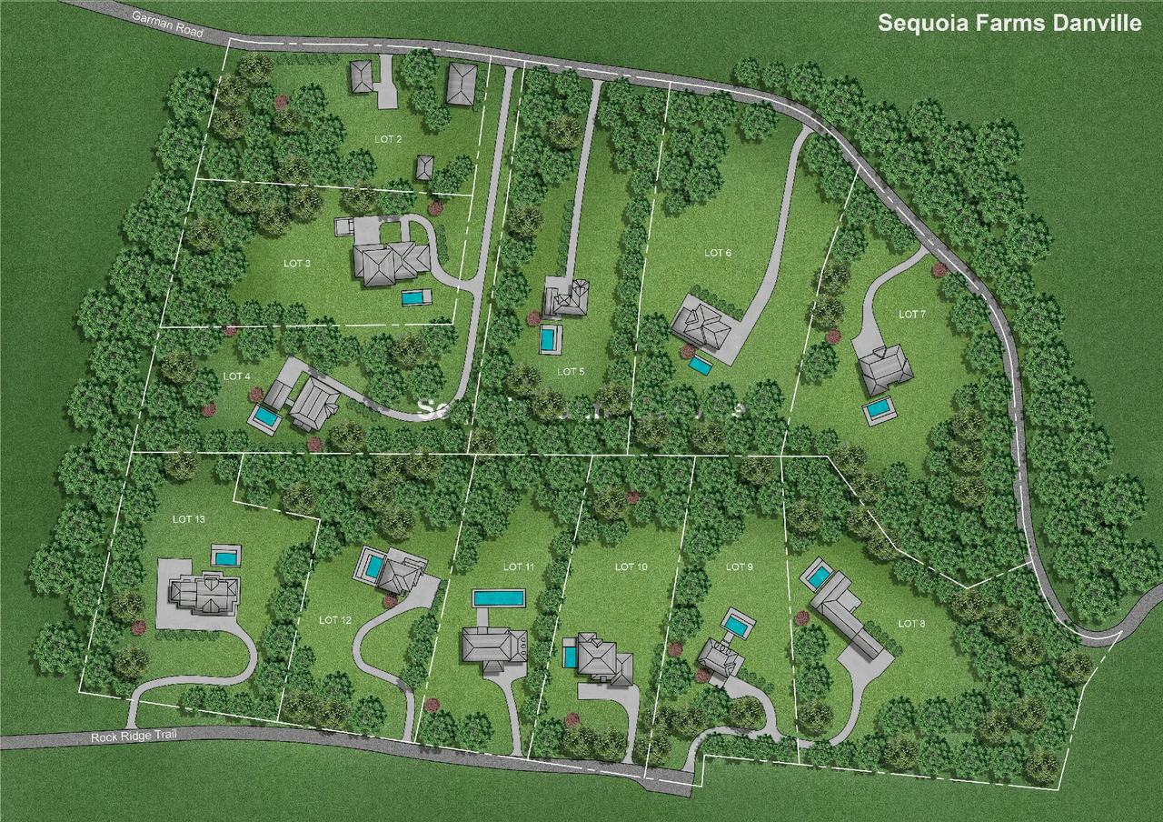
- a 2D master plan of the subdivision.
One aerial rendering now covers both sales scenarios. Land-only buyers see the boundaries and pick a lot; build-ready buyers see the neighborhood their house will stand in.
Schedule a free demo of 3D solutions for your business
We’re grateful to our client for the smooth collaboration and clear vision, and we look forward to bringing their next lots to life.
Selling vacant land and need buyers to see more than grass? Get in touch for architectural animation services and master plans that turn empty acreage into marketing visuals that sell. Need the interior side of a project covered as well? We also create 3D floor plans that show every room in detail. Related reading: 3D floor plans for realtors and 3D vs 2D floor plans.

Catherine Paul
Content Writer, Editor at ArchiCGI
Catherine is a content writer and editor. In her articles, she explains how CGI is transforming the world of architecture and design. Outside of office, she enjoys yoga, travelling, and watching horrors.