
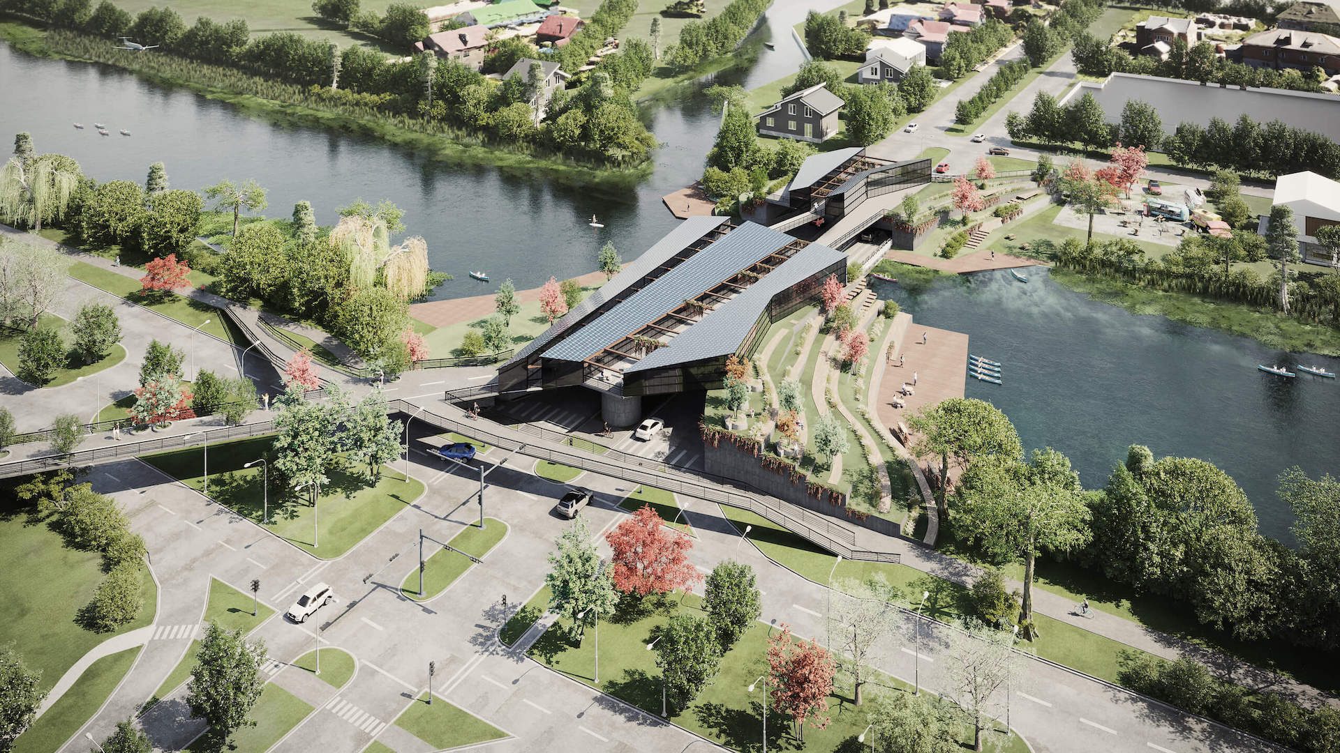
3D infrastructure rendering gives project teams a clear view of proposals that are difficult to read from technical plans alone. For transport networks and public-service developments, that clarity matters early, when many stakeholders must coordinate decisions.
Infrastructure rendering turns complex blueprints and models into realistic visuals for planners, architects, developers, or other parties to assess. It also helps teams explain intent, address regulatory considerations, and keep long-term sustainability goals visible.
Used in urban planning rendering, these materials support clearer communication and can help move approvals forward. The value is practical: fewer ambiguities during discussion and a shared reference for everyone involved.
Our 3D architectural rendering studio has extensive experience in visualizing complex public works. Here is how urban planning projects benefit from professional CGI.
What Is Infrastructure 3D Rendering?
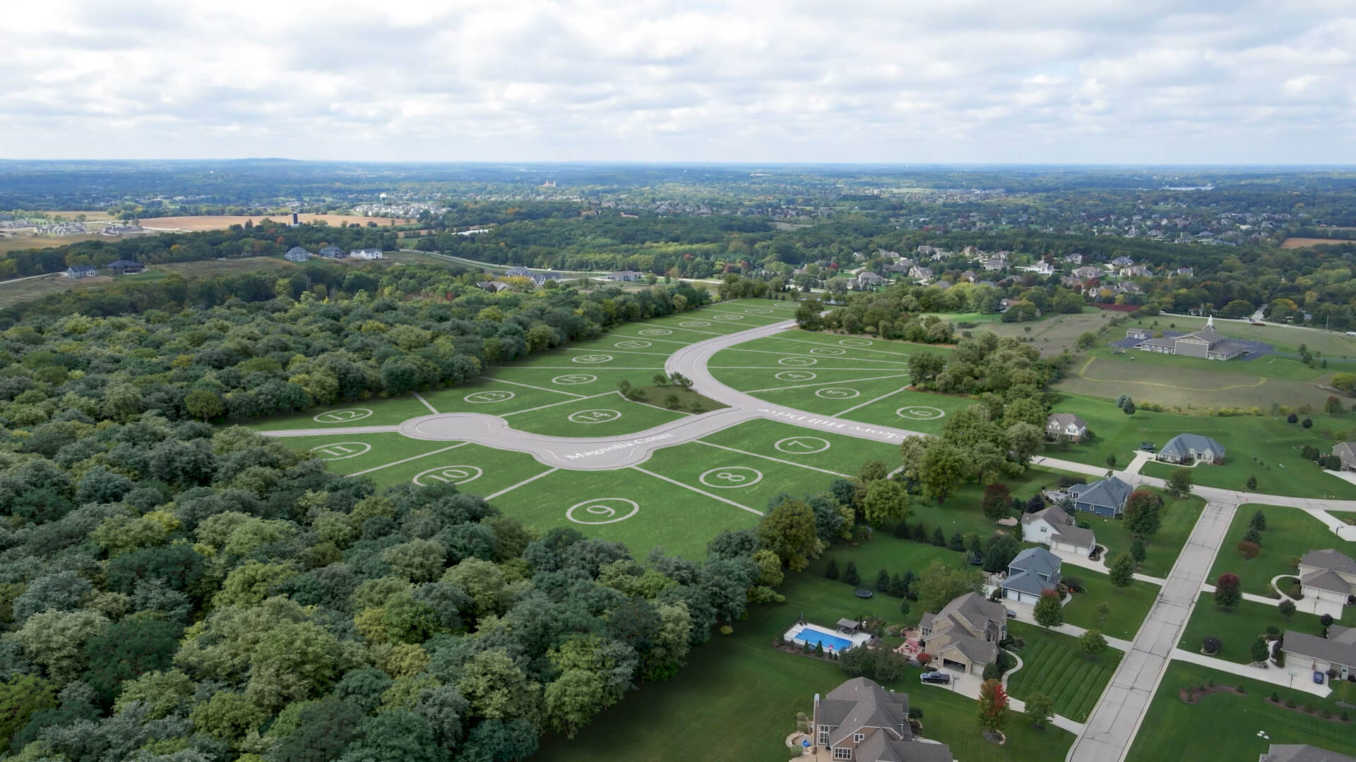
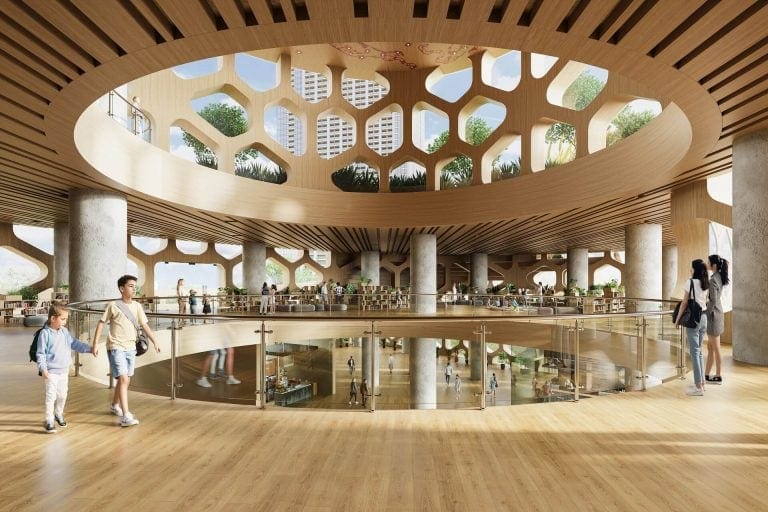
Infrastructure rendering involves creating photorealistic CG visual representations of large-scale urban projects. Unlike blueprints, schemes, and 2D plans, 3D rendering makes such designs easy to understand for both technical teams and non-experts.
This technology allows architects, urban planners, and developers to effectively visualize:
- roads and highways;
- bridges and tunnels;
- railways and metro stations;
- water and sewage systems;
- public spaces and city layouts;
and more.
With the help of urban design rendering, stakeholders can assess design feasibility, detect potential issues, and fine-tune details to ensure optimal results.
Why 3D Rendering Is Essential for Infrastructure Projects
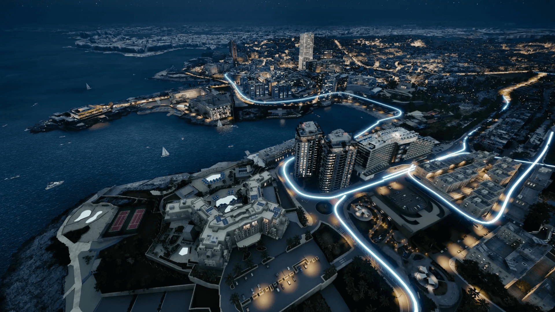
3D rendering has become a game-changer in infrastructure development. IIt supports architects, urban planners, and developers, as well as decision-makers. So, what specific benefits does CGI bring into play?
Enhanced Communication with Stakeholders
Infrastructure projects involve numerous participants. These are government officials, investors, architects, and the general public. 3D renderings offer clear, engaging visuals that make technical concepts understandable for all of them. Instead of relying on blueprints and imagination, which can be hard for people without an engineering background, stakeholders can explore highly detailed digital renders.
Accurate Planning and Problem Detection
Infrastructure projects involve multiple systems, materials, and spatial considerations. Without proper visualization, overlapping structures, inefficient layouts, or unforeseen construction challenges can lead to costly delays and redesigns.
Showcase your architectural project with photorealistic CGI powered by modern AI-assisted workflows
With 3D rendering, urban planners and engineers can detect spatial conflicts early. They can ensure that roads, bridges, and utilities integrate seamlessly without interference. For example, when designing a metro station, 3D infrastructure rendering will reveal whether underground utilities conflict with planned tunnels.
Environmental and Social Impact Analysis
Sustainability is at the core of modern urban development. And 3D rendering plays a crucial role in assessing environmental and social impact before construction begins. CGI is not just a tool for promoting construction. It also enables decision-makers to say “no” in a timely manner.
ArchiCGI has a compelling example of how public space 3D rendering can support sustainability. Our team was contacted by an environmental activist. She wanted to showcase the potential negative environmental impact of redeveloping a golf and tennis facility in California. Had the project been built as planned, it would have significantly reduced green space. This would have impacted wildlife and disrupted the community’s access to recreational areas. Thanks to the infrastructure renderings we created, local authorities and the public were able to see the risks and reconsider the approval.
Key Benefits of Using Infrastructure 3D Rendering
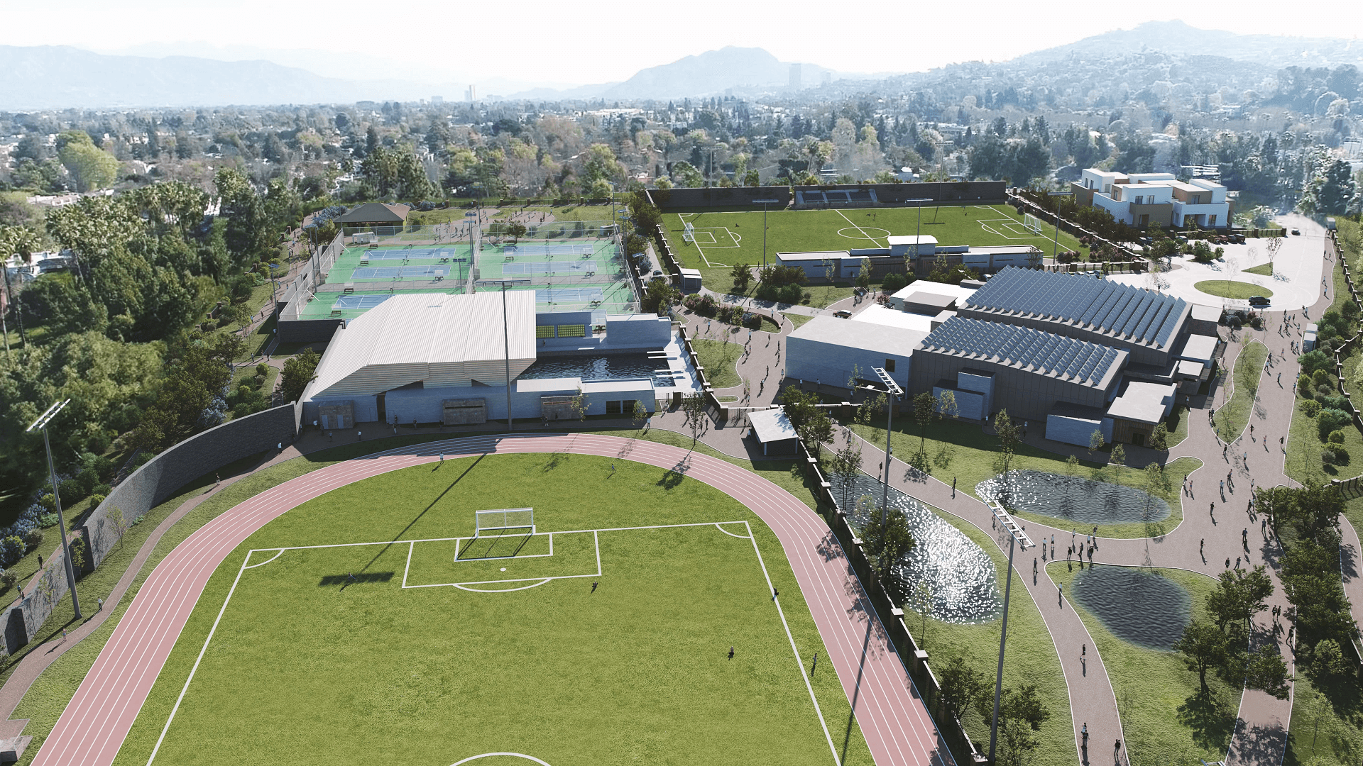
So, what are the main perks of using an infrastructure rendering for architects and urban developers?
Improved Project Approval Rates
Large-scale infrastructure projects rarely fail on engineering. They stall in approval: regulatory compliance, environmental review, community pushback. Realistic 3D renderings compress that timeline by making the project legible to people who don’t read blueprints for a living.
What changes? A zoning board reviewing a visual model can flag setback or integration issues in one meeting instead of cycling through revised technical drawings. Investors see feasibility instead of inferring it from spreadsheets, which moves funding decisions along faster. On the community side, the question that derails most public hearings (“what will this actually look like next to my building?”) gets answered before anyone asks it.
Cost and Time Efficiency
Mistakes in infrastructure planning get expensive fast. A misaligned utility corridor or an overlooked grading issue caught after construction starts can mean six-figure change orders and weeks of delay. 3D visualization catches those problems at the design stage, when a fix costs a fraction of what it would on-site. The communication side matters too: when everyone from the structural engineer to the general contractor is looking at the same visual model, the revision cycles that drag projects past deadline shrink considerably.
Get your project estimated in just 1 hour - fill out this brief!
Better Collaboration and Workflow Integration
Infrastructure projects require input from diverse teams. These include architects, engineers, urban planners, environmental specialists, as well as marketing and PR teams. 3D rendering creates a shared visual reference, ensuring seamless collaboration and preventing miscommunication.
Types of 3D Rendering for Infrastructure
Depending on their purpose, audience, and complexity, infrastructure projects need different types of 3D rendering. Let’s take a look at the main ones.
Non-photorealistic Technical Visualization
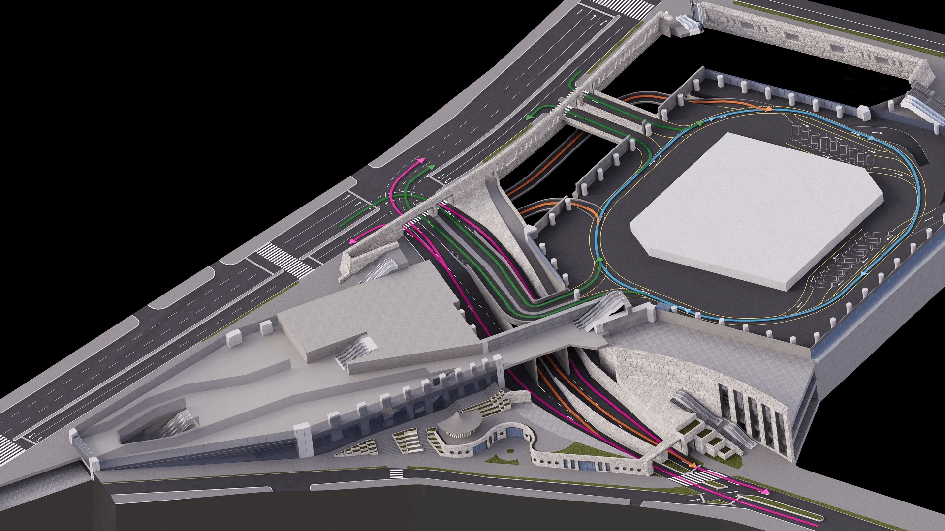
This type of rendering focuses on conveying technical aspects rather than aesthetics. It is particularly useful for engineering teams and city planners to analyze structural components, underground utilities, and zoning layouts.
Cutaway rendering is a great example of this approach. Various types of 3D cutaway rendering exist, but they all share one feature: part of the outer walls or other surfaces is removed to showcase the inner workings of a project. It allows one to get a better look at the internal structures and see how the different systems interact.
Photorealistic Urban Rendering
Photorealistic infrastructure rendering provides high-detail visuals for stakeholder presentations and marketing purposes. The most effective techniques include:
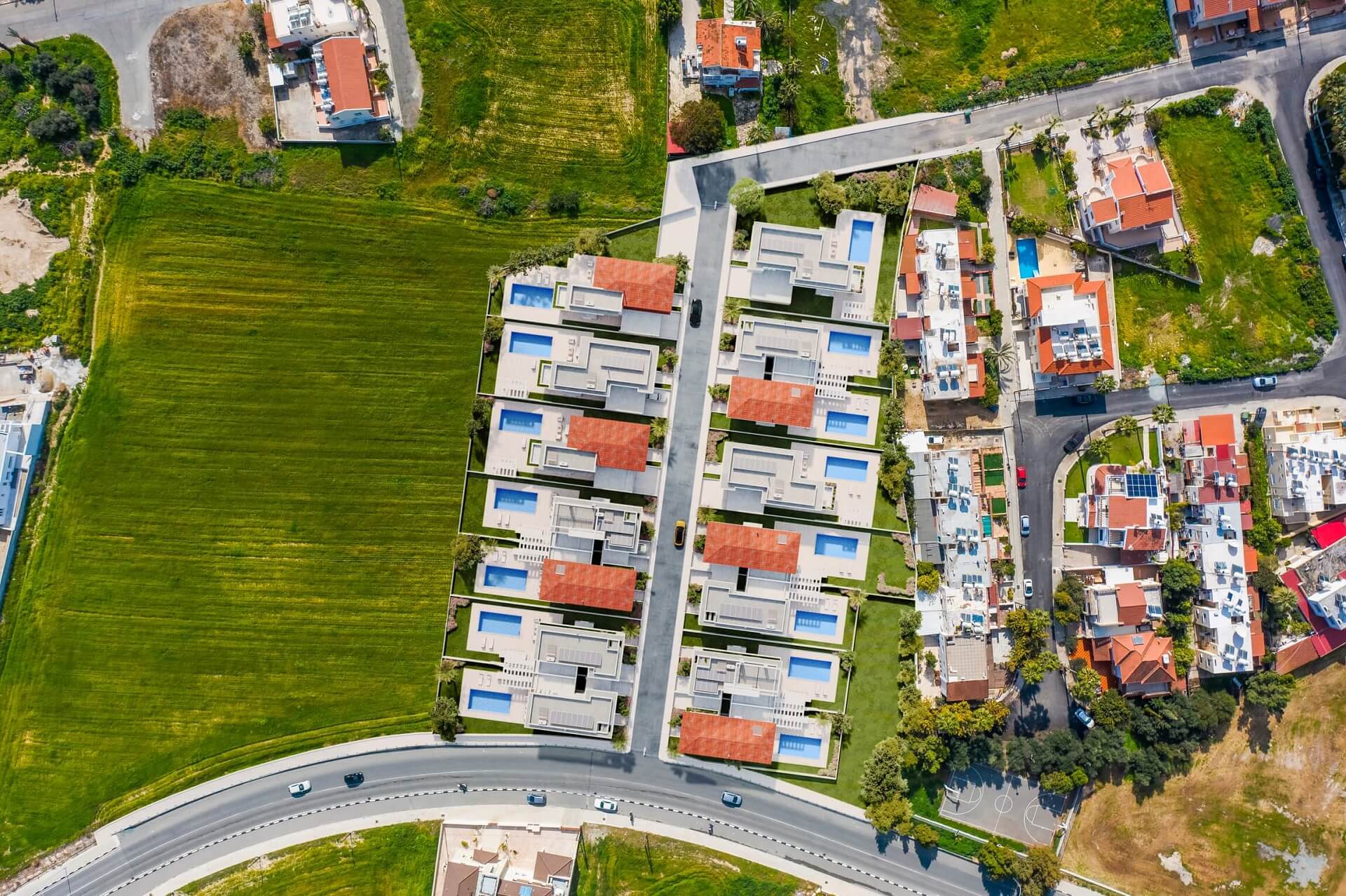
Site plan rendering. It offers a top-down view of an entire infrastructure project.
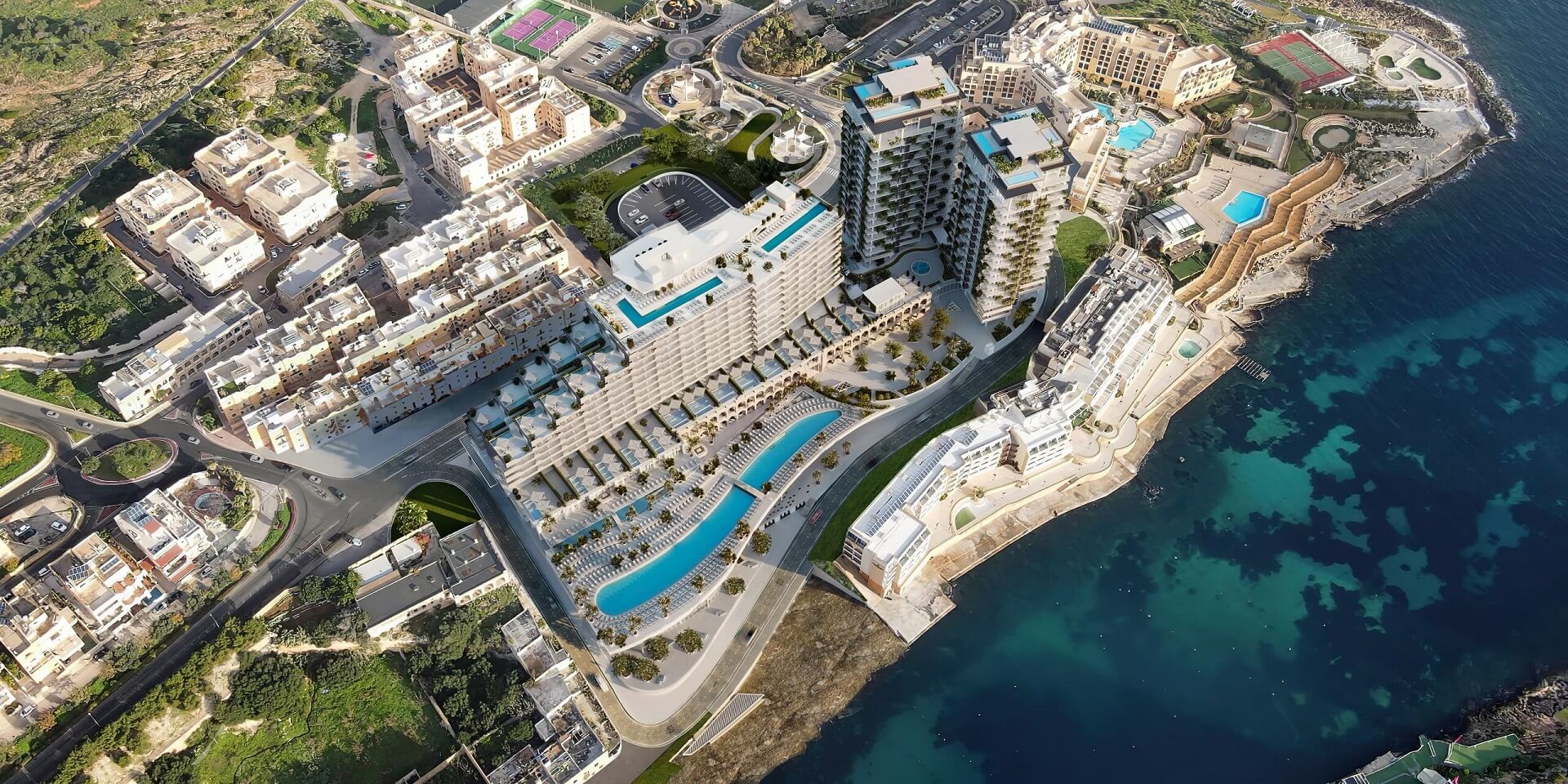
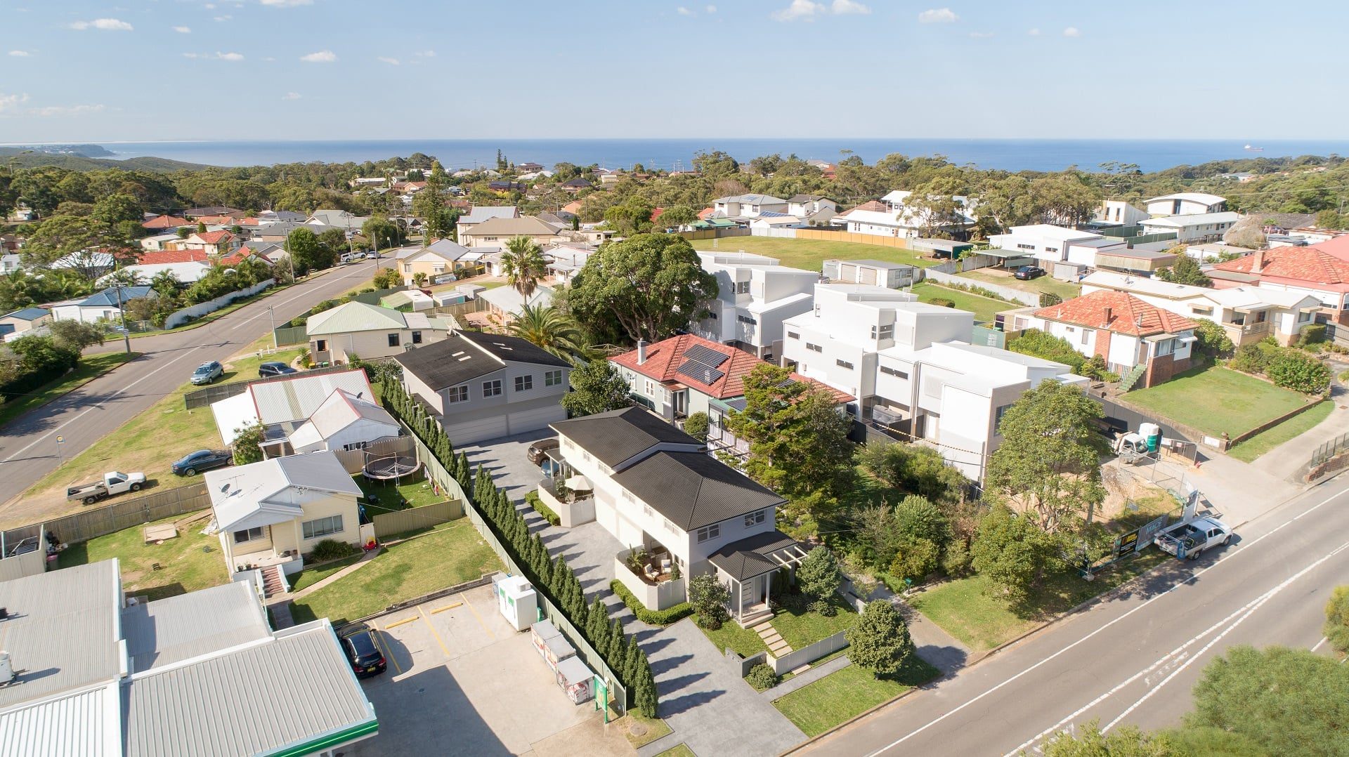
Bird’s-eye views, also known as aerial renderings. This type of 3D urban renderings displays the project from an elevated perspective, highlighting its integration into the surroundings.
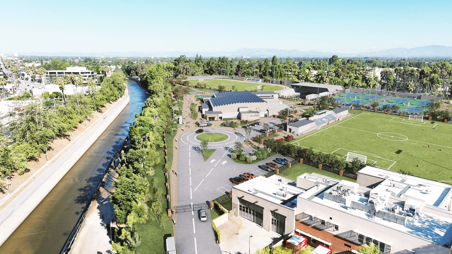
Photo-matching, or photomontage rendering. It combines 3D graphics with actual site photos, allowing CG artists to create ultra-realistic visualizations.
These techniques for creating urban design renderings help decision-makers visualize the final project and facilitate approvals.
Animations
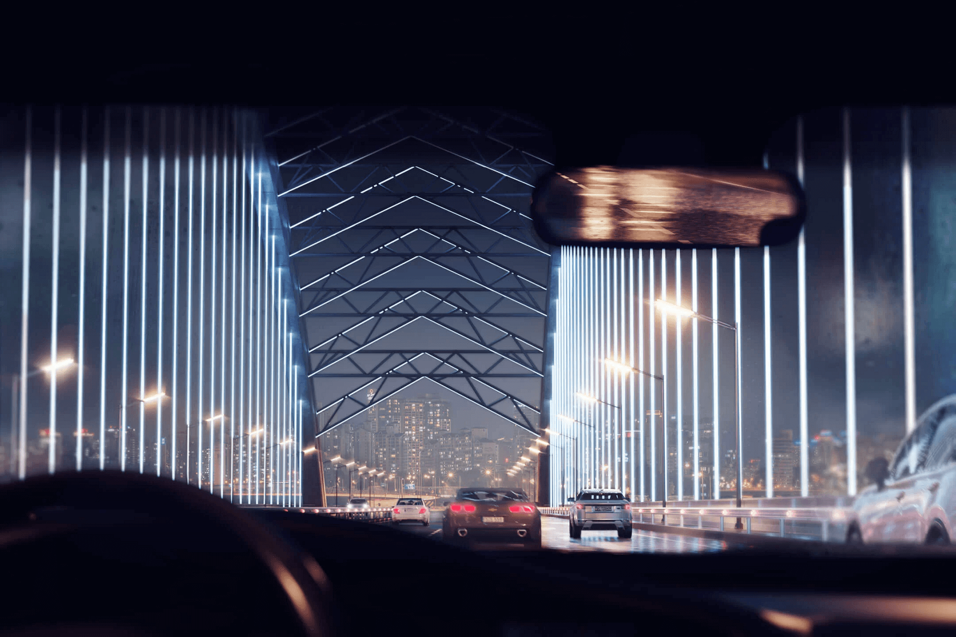
For projects involving movement, for example, transportation infrastructure. Architectural 3D animations are a key tool. They can demonstrate traffic flow, pedestrian movement, and environmental changes over time. This way, they provide a dynamic and informative way to assess infrastructure design.
How to Choose the Right 3D Visualization Partner
Selecting the right 3D rendering company is crucial for getting high-quality visualizations that effectively support infrastructure planning and development. Here are the key factors to consider when choosing a 3D visualization partner.
Expertise in Infrastructure Projects
Not all 3D rendering studios specialize in infrastructure CGI. When selecting a partner, look for a company with experience in urban development projects, such as roads, bridges, public spaces, transportation hubs, and utilities. A team that understands the specifics of large-scale infrastructure designs can create renderings that are both technically precise and visually compelling.
Software and Technology Proficiency
Larger studios often have cutting-edge technical hardware, such as rendering farms. Without them, large projects take longer, and some become nearly impossible to complete. The artists should also be proficient with different types of software, from CAD to Unreal Engine. So, make sure the company you go for has all the necessary equipment and software.
Well-Structured Workflow
A transparent and efficient workflow is essential for delivering projects on time and meeting client expectations. So, a reliable 3D rendering company should offer clear project timelines and milestones tracking, transparent means of communication (preferably through a customized CRM), clear revision policies, and dedicated project managers.
Want to learn how much your project costs? See how we evaluate 3D rendering projects
Team Scalability
Large infrastructure projects require a scalable 3D rendering team that can handle multiple tasks simultaneously. For example, at ArchiCGI, we have over 600 3D artists, allowing us to work on high-volume projects without compromising quality.
Proven Track Record and Portfolio
A company’s portfolio of 3D renderings for architects speaks volumes about its capabilities. Look for a 3D visualization partner that showcases diverse infrastructure projects across different scales and industries, and consistently realistic, high-quality renderings that align with your project needs.
Positive Client Reviews
Client feedback provides valuable insights into a company’s professionalism, reliability, and rendering quality. Before making a decision, take a look at ratings and reviews on different platforms (not only the studio’s website). Pay attention to the evaluation of both hard skills (delivered results) and soft skills (punctuality, communication, etc.)
More tips on how to choose the right 3D rendering studio, estimate its output, and select the appropriate solutions can be found in our guide to 3D rendering in architecture.
Infrastructure rendering is an essential tool for any large-scale urban project. Thanks to infrastructure rendering, architects urban planners, and developers can communicate their vision to the decision-makers and the general public just as well as inside the team.
Schedule a free demo of 3D solutions for your business
Looking for a reliable 3D rendering services partner? Get in touch with ArchiCGI to ensure you work with experts who deliver high-quality and accurate visuals! For buildings rather than infrastructure, our 3D exterior rendering services cover everything from private houses to high-rises. Related reading: rendering tips for sports facilities.

Stacey Mur
Content Writer, Copywriter
Stacey is a content writer and a CG artist. Outside of work, Stacey enjoys musicals, Star Wars, and art talk. A proud Corgi parent.